FLINDERS UNIVERSITY—October 16, 2019 marks 360 years since the Dutch merchant ship Melckmeyt (Milkmaid) was wrecked off a remote Icelandic island during a clandestine trading mission.
Since its discovery in 1992 it has remained the oldest identified shipwreck in Iceland, and its lower hull has remained unusually well-preserved in Iceland’s icy waters.
To mark this anniversary, digital archaeology specialists at Flinders University have collaborated with maritime archaeologists at the University of Iceland to release a 360 degree virtual dive on the wreck.
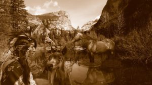
This is a highly realistic virtual experience of the wreck and includes a digital reconstruction of how the ship might have appeared on the seabed moments after it sank.
The three minute virtual dive was created for an exhibition at the Reykjavik Maritime Museum, but has now been published through YouTube and is available to anyone with a VR headset – it can also be viewed with a smartphone or tablet just by turning it around to view the scene.
The wreck at the centre of the experience is a merchant ship around 33 meters long named Melckmeyt (Milkmaid), thought to be a type of Dutch ship known as a flute.
Flutes were one of the most widely used ship types in the 17th century, a period when the Dutch ruled the seas and piracy and sea battles were a frequent occurrence. The kingdom of Denmark ruled Iceland and forbade other European nations from trading with the island.
However, in 1659 a surprise attack by the Swedish king on the Danish capital prevented any Danish supply ships from traveling to Iceland.
Sensing an opportunity, enterprising merchants in the Netherlands sent a small fleet of unlicensed ships flying under a false Danish flag to trade illegally with the Icelandic population for fish and other goods. If discovered their ships were at risk of confiscation or attack by Danish authorities.
On October 16th, the ship Melckmeyt paid the ultimate price, wrecking in a remote harbor during a sudden storm, with the death of one crew member.
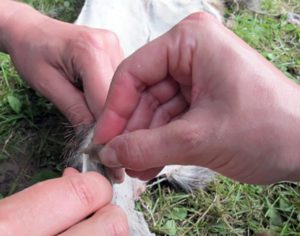
The survivors took shelter above water in the highest point of wreck for the next two days. Although recorded in the Icelandic annals, this event was largely forgotten until its rediscovery in 1992 by local divers Erlendur Guðmundsson and Sævar Árnason. In 2016 PHD candidate Kevin Martin from the University of Iceland returned to the wreck site to carry out a detailed high-resolution 3D survey with his team, including archaeologists from the Cultural Heritage Agency of the Netherlands.
“The significance of this wreck is enormous for Iceland. As it is one of the oldest known historic wrecks in this part of the world, it shines a light on a fascinating period of Icelandic history, when Denmark ruled the island and had a monopoly over trade here for a period of 200 years.”
“We have also been able to directly embed a 3D survey of the seabed with full photographic texture. In theory, a member of the public viewing this might even spot something on the wreck that we have missed during our dives on it!”
PHD candidate in Maritime Archaeology at Flinders University, John McCarthy created the virtual dive.
“Funding from the Embassy of the Kingdom of the Netherlands in Canberra allowed me to travel from Australia to the Netherlands to make a 3D scan of a rare ship model from the 17th century, supporting the most authentic reconstruction of the ship possible.”
“We have even based the stern painting on a real contemporary Dutch painting, Vermeer’s’ famous ‘Milkmaid’, painted just one year before the ship was wrecked.”
______________________________
______________________________
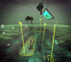
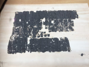
Milkmaid virtual dive. Image by John McCarthy
______________________________

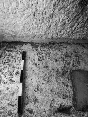
Map of Milkmaid wreck location. Image by John McCarthy
______________________________
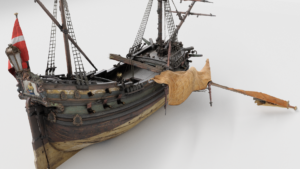
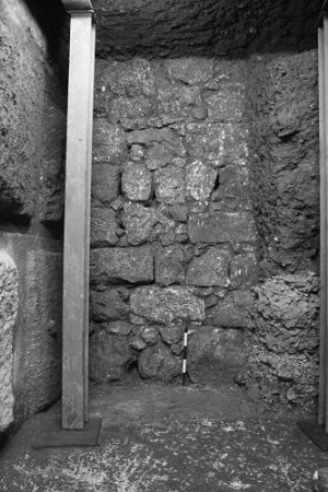
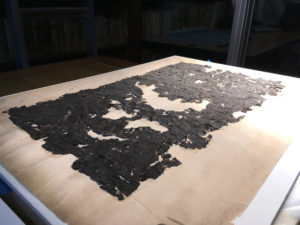
Milkmaid reconstruction. Image by John McCarthy
______________________________
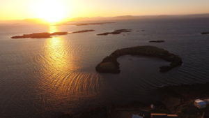
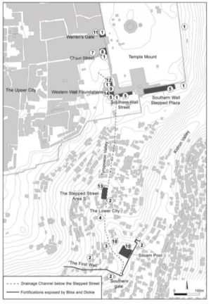
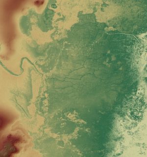
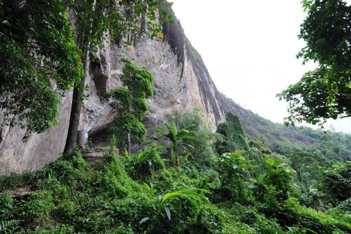
Aerial view of wreck site. Image by Kevin Martin
______________________________
Article Source: Flinders University news release
______________________________
Advertisement