

In the jungles of Central America, one can spot the otherwise inconspicuous Theobroma cacao, or cacao tree, by its small, somewhat bulbous, yellow-orange watermelon-shaped fruit hanging away from its body. Like most other plants that constitute the complex mix of the tropical mosaic, it assumes its own oblivion amidst the forest ecology.
But mention the name to local residents of these forest zones, and to scientists and scholars who explore and study the culture and history of this region, and you will learn that this tree plant is imbued with a special significance. Its prime produce, the cacao (or cocoa) bean, was historically, at least among the ancient Maya, used as a valuable currency of commerce, and cacao, the bean’s best known derivative, is today an important export for the production of chocolate. For decades, archaeologists and other scholars have also uncovered evidence of its use through detection of the biomarkers of its residue on highly decorative ceramic objects in ancient Maya elite ceremonial contexts, suggesting its use as an important ceremonial drink among the Maya elite.
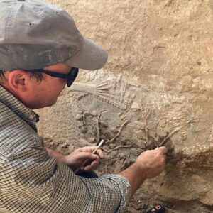
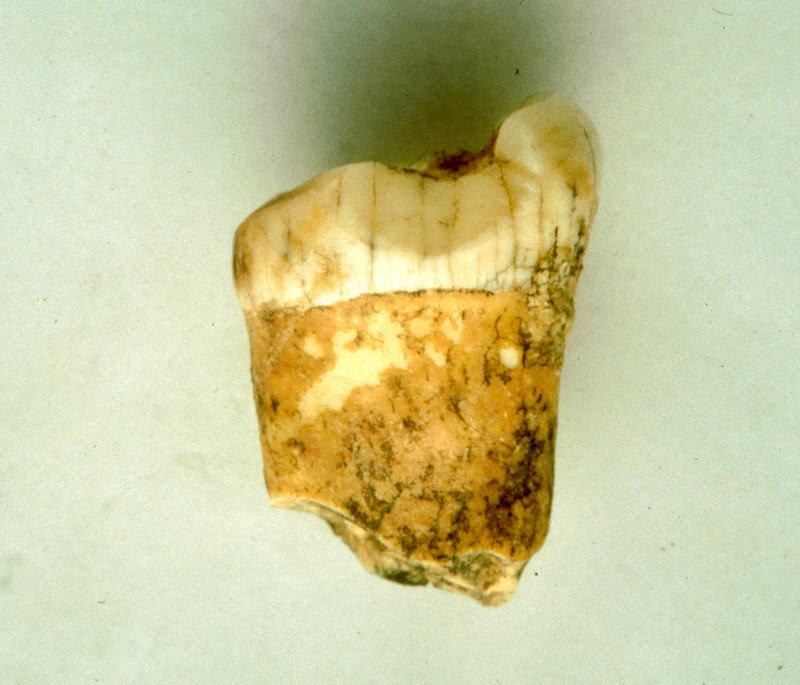
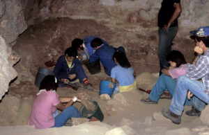
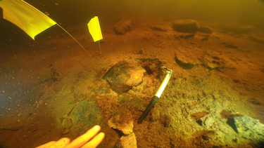
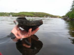
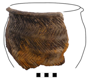
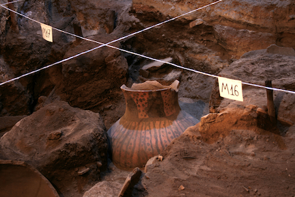
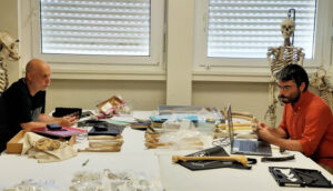
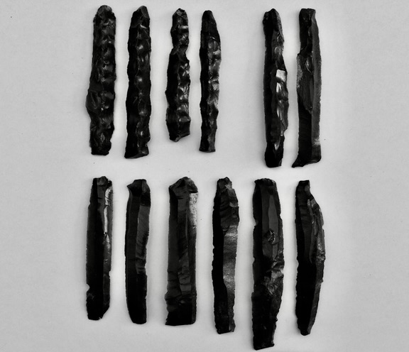
A recent study*, however, is showing that the drink was not the exclusive domain of the ancient Maya privileged classes. Recently, researchers examined 54 ceramic sherds sampled from a cross-section of archaeological contexts in the area of El Pilar, a major Maya center that straddles both sides of the border between Guatemala and Belize. The artifacts were found in both Late Classic (600 to 900 CE) residential and civic contexts, although much of the tested sample represented wares belonging to residential spaces of the general population surrounding and associated with the center. All artifacts were tested for the presence of theophylline, a distinct drug/chemical marker for cacao in this region.
According to the study results, positive traces for cacao were detected for all forms of ceramic material, not only drinking vessels. The chemical traces were thus also found in mixing bowls, storage jars and serving plates, and the distribution of the evidence was spread across a variety of archaeological contexts, including both elite/public spaces and domestic residential sites. “We conclude that cacao biomarkers are common in many Late Classic contexts, and can be recognized in all basic domestic vessel forms, across every landform in the El Pilar area, in residential units of every status and, of course, in civic centers,” report the study authors in the paper, published September 26, 2022 by the Proceedings of the National Academy of Sciences.* “……..We interpret the identification of cacao in vessels belonging to people of all walks of life as confirmation that cacao’s prestige was consumed by all in Maya society………Formal celebrations recognized in regal formats were cultural features that must have included everyone.”*
About El Pilar
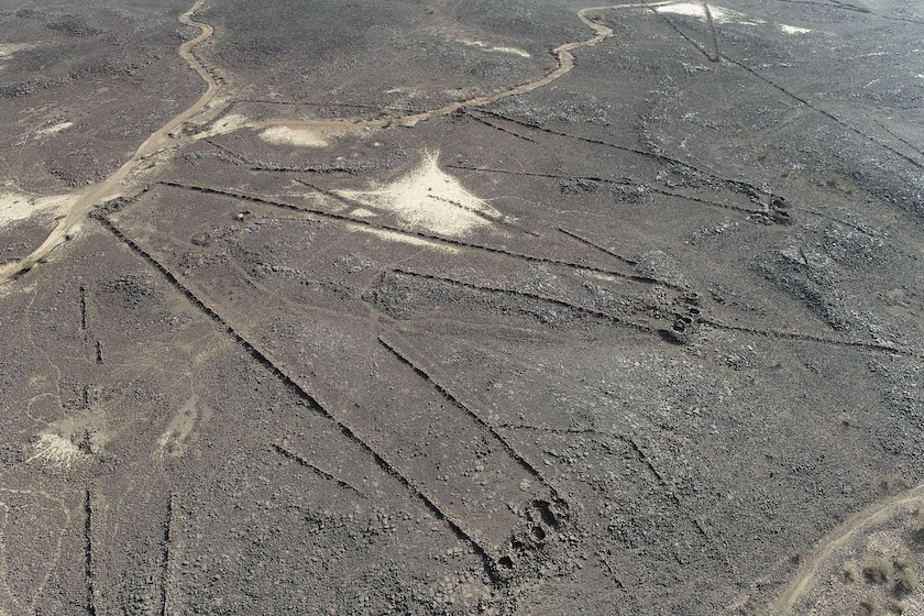
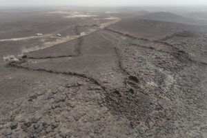
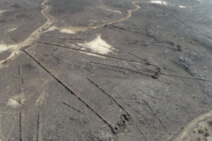
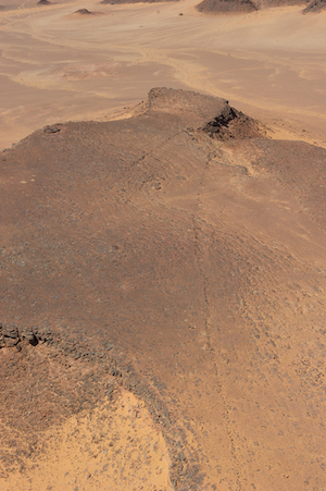
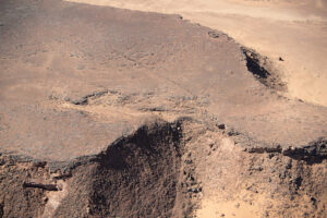
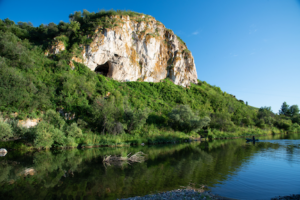
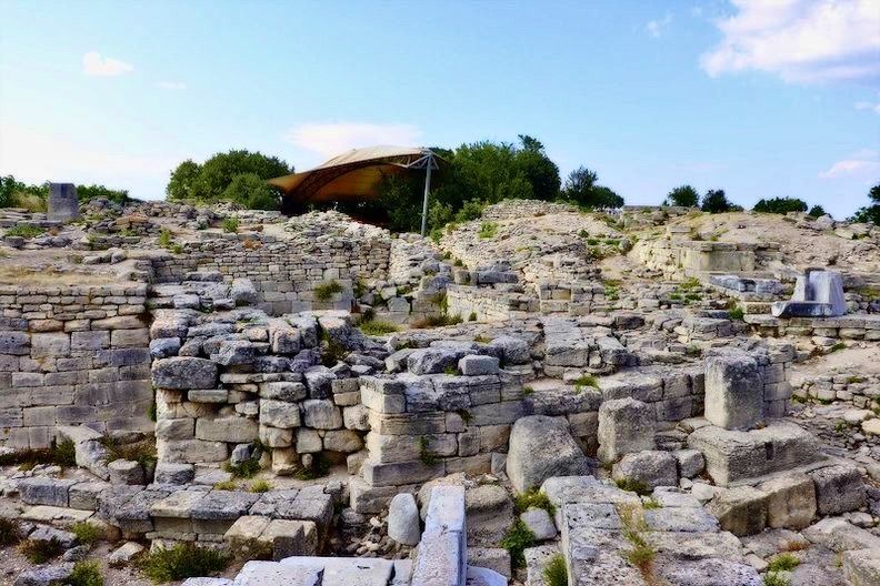
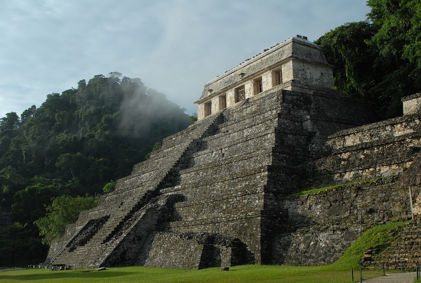
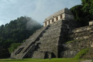
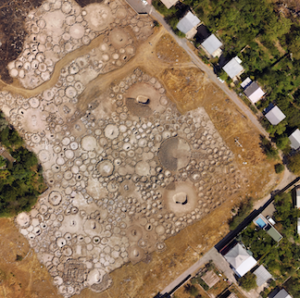
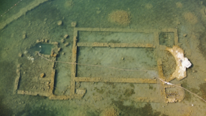
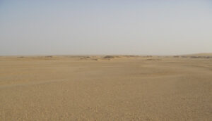
Divided along the imaginary line between western Belize and northeastern Guatemala, El Pilar is considered the largest site in the Belize River region, boasting over 25 known plazas and hundreds of other structures, covering an area of about 120 acres. Monumental construction at El Pilar began in the Middle Preclassic period, around 800 BCE, and at its height centuries later it supported more than 20,000 people. For decades, archaeologist Anabel Ford, the lead study author of the PNAS-published report, has been exploring and studying this ancient Maya site. She is the Director of the Mesoamerican Research Center of the University of California, Santa Barbara. Unlike most archaeologists, however, she has taken a unique, highly selective conservation approach to investigating the site. With the exception of a fully exposed Maya house structure, most of the structures at El Pilar have remained completely conserved by design, still covered in their tropical shroud. She calls this ‘archaeology under the canopy’, where the natural environment enveloping the ancient monuments is maintained to protect the fragile structures from the elements. “Living biofilms attack the limestone where exposed, which rapidly deteriorates the vulnerable limestone facades,” she says. “It is tree cover that reduces exposure to sunshine and rain and maintains an even temperature that will preserve the monuments.”
_______________________________
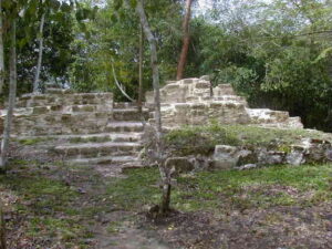
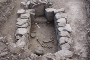
The Maya house site Tzunu’un at the ancient Maya city center El Pilar. Congobongo1041, Creative Commons Attribution-Share Alike 3.0, Wikimedia Commons
_______________________________
More detailed information about the study can be obtained in the published report.
________________________________________
*Ford, Anabel, et. al., New light on the use of Theobroma cacao by Late Classic Maya, September 26, 2022. https://doi.org/10.1073/pnas.2121821119.
_______________________________
Advertisement


