MAX PLANCK INSTITUTE FOR THE SCIENCE OF HUMAN HISTORY—Microliths – small stone tools – are often interpreted as being part of composite tools, including projectile weapons, and essential to efficient hunting strategies of Homo sapiens. In Europe and Africa, the earliest appearance of these lithic toolkits are linked to hunting medium and large-sized animals in grassland or woodland settings, or as adaptations to risky environments during periods of climatic change. Yet the presence of small, quartz stone tools in Sri Lanka suggests the existence of more diverse ecological contexts for the development and use of these technologies by some of the earliest members of our species migrating out of Africa.
The paper*, published in PLOS One and led by scientists from the Max Planck Institute for the Science of Human History alongside colleagues from Sri Lankan and other international institutions, reports microliths from the cave site of Fa-Hien Lena in the tropical evergreen rainforests of Sri Lanka, which have been dated to between 48,000 and 45,000 years ago. This is as early, or earlier, than the well-known ‘Upper Palaeolithic’ technologies of Europe associated with Homo sapiens, and highlights that these sophisticated toolkits were a key part of our species’ ecological flexibility as it colonized the Eurasian continent.
Tropical rainforests: a unique challenge
In the last decade, growing archaeological evidence has documented the use of tropical rainforest resources by Homo sapiens in several locations in South Asia, South East Asia, and Melanesia between 45,000 and 36,000 years ago. This is much earlier than previously considered, especially given stereotypes that these environments were ‘barriers’ to human migration, with disease, dangerous animals, and limited resources all posing challenges. Instead, research on human dispersal in Asia has focused on potential human use of coastal and savanna environments.
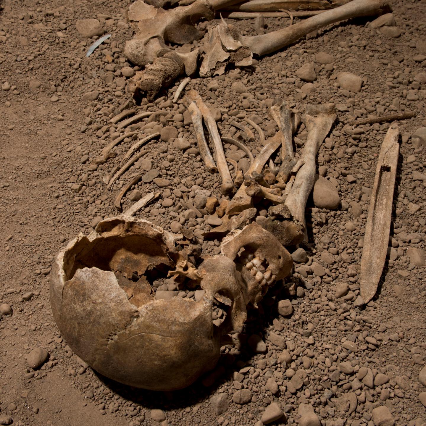
The island of Sri Lanka, at the southern tip of South Asia, has emerged as a particularly important area for investigating the adaptations of prehistoric hunter-gatherers to tropical rainforests. The earliest South Asian human fossils are found in Sri Lankan caves and rockshelters, in levels dated to about 45,000-36,000 years ago, and scientific analyses of these remains has highlighted human reliance on closed forest resources. Early microliths, commonly associated with efficient hunting strategies by our species, have also been found, yet more detailed analyses have been lacking. Finding such artifacts in this context is significant given that microliths have commonly been linked to hunting medium to large game in grassland settings.
‘Microliths’: why care?
Traditionally, the miniaturization of stone tool technology has been seen as a major step in the development of novel, projectile technologies such as the bow and arrow. While definitions are variable, the focus of human stone tool producers on the creation of small, sharp lithics is something that has been witnessed in Africa, Europe, and India from around 60,000-45,000 years ago. Early occurrences of this strategy have also been documented in Sri Lanka since the 1980s, by Siran Deraniyagala, but were frequently neglected due to a Eurocentric belief that such tools could not have been produced in this part of the world prior to similar technologies in Europe (at the time dated to only ~20,000 years ago).
Microlithic toolkits may also denote how fast and along which routes our species migrated through Asia. For example, a prominent argument states that microlith technologies emerged in Africa, and then rapidly dispersed along the Indian Ocean rim, acting as a proxy for the supposedly first, rapid movement of Homo sapiens through coastal settings. However, significant, local differences have been noted for microlith stone tools in Asia and Africa, alongside regional technological continuity, and a clear ‘coming and going’ of these type of tools as situations demanded them or not. Investigation of these tools and their adaptive context in different parts of the world is therefore crucial to discussions of human evolution and the archaeology of the last 100,000 years.
A Sri Lankan specialty
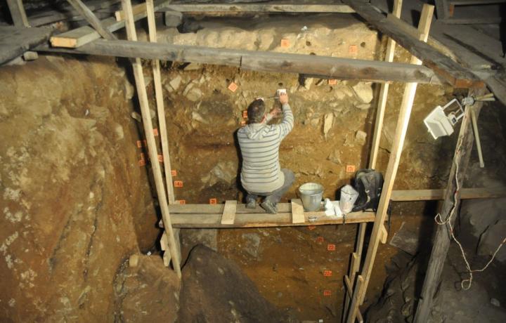
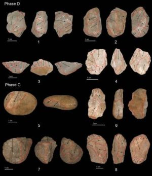
Sri Lanka has been a prominent part of discussions of early human adaptations to tropical rainforests, though there has been a lack of systematic, detailed analysis of the technological strategies associated with clear geochemical evidence or animal remains that demonstrate a clearly specialized adaptation. “We undertook detailed measurements of stone tools and reconstructed their production patterns at the site of Fa-Hien Lena Cave, the site with the earliest evidence for human occupation in Sri Lanka,” says PhD student Oshan Wedage of the Max Planck Institute for the Science of Human History, lead author of the study.
“We found clear evidence for the production of ‘miniaturized’ stone tools or ‘microliths’ at Fa-Hien Lena, dating to the earliest period of human occupation,” Wedage continues. “Interestingly, our evidence also shows that stone tool technology changed little over the long span of human occupation, from 48,000 to 4,000 years ago,” says Andrea Picin, also of the Max Planck Institute for the Science of Human History, co-author of the study. This would imply that the technological adaptation practiced by the earliest rainforest foragers on the island proved to be remarkably successful over the course of millennia.
Dedicated ‘plasticity’
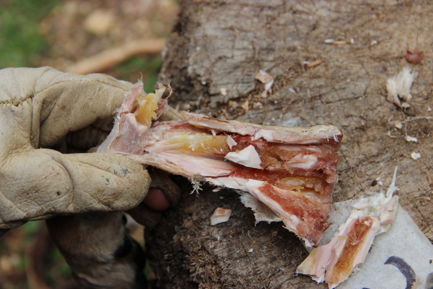
“While we suspect that these small stone tools were used as part of projectile technologies, as we have also found for bone tools at the same site, residue analysis and impact fracture analysis is ongoing,” says Michael Petraglia, co-corresponding author of the paper. “Whatever the results, these miniaturized stone tools place Sri Lanka in a central position in terms of discussing technological sophistication among our species. We have essentially uncovered the ‘Upper Palaeolithic’ of the rainforest.”
Patrick Roberts, another co-corresponding author, continues, “It is evident that these microliths were part of a flexible human toolkit that enabled Homo sapiens to spread into all of the world’s environments, demonstrating unparalleled ecological ‘plasticity’ when compared to other hominin species.” The data from Sri Lanka is just one example of human populations demonstrating a remarkable ability to specialize their technological and cultural approaches to novel ecological situations during their movement across the majority of the Earth’s continents by 12,000 years ago.
__________________________

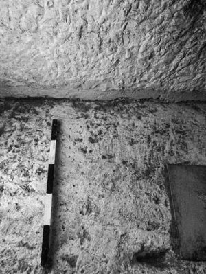
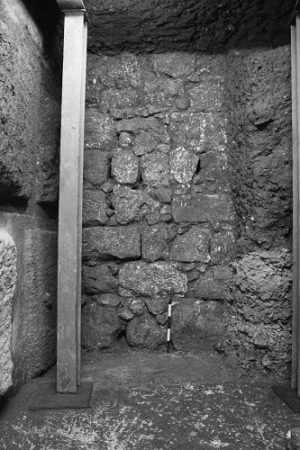
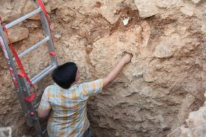
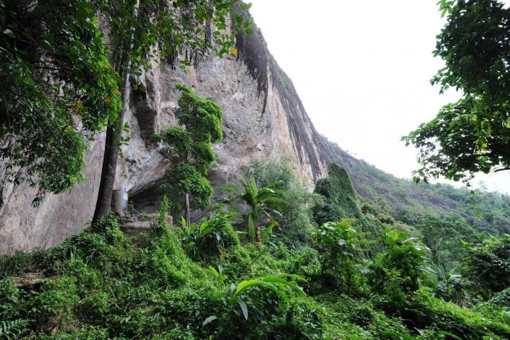
Fa Hien Cave in rainforests of Sri Lanka. Max Planck Institute
__________________________

Fa Hien Cave overlooking rainforest. Max Planck Institute
__________________________
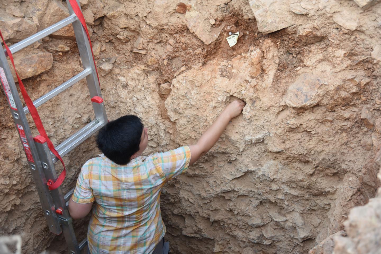
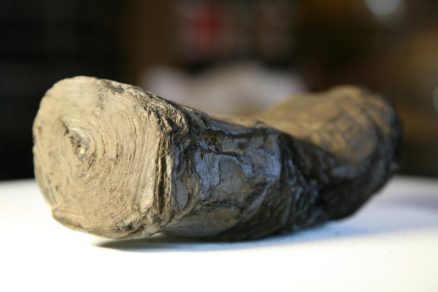
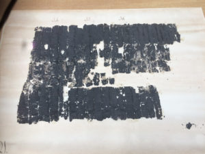
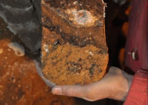
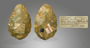
Oldest microlithic artifacts from Fa Hien Cave. Max Planck Institute
__________________________
Article Source: MAX PLANCK INSTITUTE FOR THE SCIENCE OF HUMAN HISTORY news release.
*Oshan Wedage, Andrea Picin, James Blinkhorn, Katerina Douka, Siran Deraniyagala, Nikos Kourampas, Nimal Perera, Ian Simpson, Nicole Boivin, Michael Petraglia, Patrick Roberts, Microliths in the South Asian rainforest ~45-4 ka: new insights from Fa-Hien Lena Cave, Sri Lanka https://doi.org/10.1371/journal.pone.0222606