
A glance at recorded history shows us that humans have “always” felt a need to explain phenomena perceived to exist beyond our comprehension. Today, we turn to science to seek answers to our questions about the universe. But in the past, preliterate people developed spirituality to deal with their deepest metaphysical queries.
But when exactly did this conceptual revelation evolve and why did it take root so strongly?
In all regions of the world where writing has evolved, we find documents that corroborate humanity’s long history of creating stories to fill in the gaps, defining the limits of our understanding. In many cases, such stories provide deeply symbolic narratives intended to unite people and help them deal with themes that are difficult to explain, like the emergence of life and the paradoxes surrounding the inevitability and permanence of death.
In many parts of the world, uncannily similar cosmological stories appeared soon after the founding of the first urbanized civilizations (i.e., creation myths) These stories serve to address metaphysical issues, and often (anthropocentrically) provide anecdotal accounts to explain how humans fit into the overall scheme of things. Some stories evolved into myths and were steeped in moral reckonings that served to model and control individual conduct in response to the growing population density, which followed the establishment of production-consumption economies.
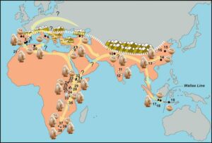
Cultural convergence is, however, not just commonly observed in creation myths. The Acheulian techno-behavioral revolution; Upper Paleolithic blade technologies; Holocene farming and megalithic structures; and the invention of writing are all examples of landmark techno-social developments that occurred in similar timeframes in vastly different areas of the globe where cultural transmission through direct contact was unlikely to have occurred.
Before science, our ancestors dealt with the unknown by inventing stories that they incorporated into their lives as reasonable replacements for truth. Even though they shared a lack of scientific grounding, some of these stories were passed on over the centuries and eventually became enduring religious beliefs that continue to be embraced by many people.
The ancient mythical stories inscribed on Bronze Age monuments or incised into clay tablets recount exhaustive stories that imply an older origin or perhaps a long history of oral transmission. The question arises: without written accounts, how can we discern when prehistoric humans began to replace real-life situations with abstract ideas as a way to rationalize what they could not understand?
Myths are stories that provide alternative interpretations of real-life events and are socialized through specific ritual behaviors. They are as distinct and diverse as the cultural entities that created them. Cyclicity is a common feature of these stories that are often ritualized in specific calendrical phases, with strong ties to celestial events associated with seasonal changes. The ritualized narration involves role-playing and specific attire and takes place within family units or in large communal gatherings. Such periodic get-togethers strengthen social ties, while their predictability provides reassuring stability that people can count on, especially during uncertain times.
History is replete with more recent examples of religion being used as a means of controlling large masses of people by manipulating their fears of cosmic reprisal or other non-verifiable retribution. In modern society, this strategy remains an incredibly powerful tool that has been effectively exercised by just a handful of individuals highly placed within a social hierarchy. But religious practices and spiritualism are essential social mechanisms in the many thousands of hunter-gatherer lifestyles we have emerged from.
Early forms of spiritualism can be defined as expressions of a belief in unseen cosmic forces thought to be guiding the universe. In archeological records, evidence of spiritual behavior is very difficult to identify before the invention of writing. In fact, we know very little about how early Homo sapiens and other forms of the genus Homo they encountered (like Neandertals and Denisovans), dealt with the disturbing emotional void caused, for example, by untimely death, or other kinds of trauma originating from uncontrollable or unknown sources.
The human brain is programmed to use reason to process what is seen and experienced to be able to comprehend situations and react to them in ways that are optimal for self-preservation. While we turn to science today to understand the world that surrounds us, our ancestors were left to wonder and question their universe. Prehistoric people would have experienced natural disasters (flooding, volcanic eruptions, earthquakes, and periods of intense weather deregulation) the true causes for which would have been beyond their grasp. Creating stories to explain such events would have permitted them to remember and learn from them, as well as to deal with them emotionally.
Assigning reasoning to catastrophic or cosmological events by transforming them into myth is an effective survival strategy that allows humans to share and process significant occurrences. This approach fatalistically transfers these events to an imaginary force beyond human control. Unlike science, spiritual or religious claims cannot be proven or tested, nor do they provide empirical knowledge allowing us to intervene or change the situation.
Among the existential predicaments troubling human consciousness, death stands out as a singularly problematic theme that has long been a source of human angst; we simply cannot conceptually grasp the idea of termination of self; of infinite nothingness following our demise. Archeologists concede that intentional burials could represent the first concrete evidence of a spiritual act performed by our ancestors, one that could imply that they were experiencing a new awareness or discomfort in dealing with the concept of death.
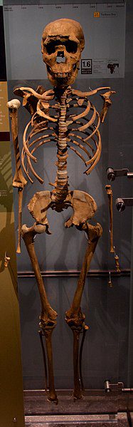
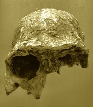
During the Lower Paleolithic (a cultural period dating globally to between around 2.6 million and 350,000 years ago), hominins left abundant evidence of their passing in open-air contexts, rock shelters, and caves in Africa and Eurasia. So far, none of these discoveries suggest that the H. erectus (or other related species) carried out special handling of the remains of their dead, whose bones have been found discarded alongside those of the animals they consumed and the tools they used to butcher them.
Identifying sepulchers in ancient prehistoric contexts is difficult for archeologists because natural erosive forces tend to erase the evidence over time. Intentional burial may, however, be identified by the presence of human remains (one or more individuals) found in anatomic connection (indicating rapid or careful inhumation); corpses arranged in particular postures (fetal position); or intentionally modified (disarticulation and displacement of body parts); or in specific orientations (facing in a particular cardinal direction); or intentional modification of the substratum (digging of a pit); or by the presence of grave goods (red ocher, shells, beads, antlers, ivory, etc.).
Intentional displacement of the dead is evidenced at the 430,000-year-old site of the Sima de los Huesos, where the skeletal remains of some 29 pre-Neandertal individuals were found at the bottom of a deep pit within a karst cave system at the Sierra de Atapuerca, in Spain. A single, carefully crafted handaxe discovered among the human fossils makes this exceptional accumulation of pre-Neandertals even more intriguing because the tool has been interpreted as some kind of “offering.”
The oldest burials presently documented are from the Levant and date to around 100,000 years ago. They were found in cave sites attributed to the Neandertals and anatomically modern humans that coexisted in the area during the Middle Paleolithic (the period dated roughly between 350,000 and 40,000 years ago). Meanwhile, the discovery of an intentional burial of a modern human infant in Panga ya Saidi, Kenya, dating back 78,000 years, is the earliest burial found in Africa.
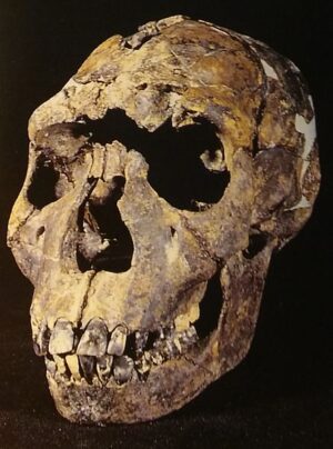
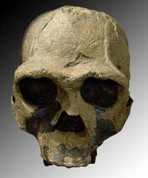
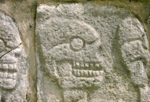
Cases of intentional burial have long been recognized at Neandertal sites across Eurasia, underpinning the growing body of evidence suggesting that these hominins had developed complex symbolic behaviors previously thought to be reserved only for our species. These burials, alongside evidence of aesthetic concerns in the fabrication of their tools and even body ornaments, and art demonstrate that the Neandertals possessed some form of spiritual awareness and perhaps even primitive forms of coded symbolic behavior. Sometimes exogenous materials like rare or unusual rocks, carnivore teeth, or even flowers (in the case of Shanidar cave, in Iran) were deposited in these burials, further strengthening this hypothesis.
Intentional human inhumations associated with grave goods are also known from the Eurasian Upper Paleolithic (especially the Gravettian cultural period; 32,000 to 26,000 years ago). During this phase of human evolution, spectacular cave paintings conveyed stylized animals, abstract signs and symbols, and even shamanistic figures, indicating perhaps that these ancient people possessed animist spiritual visions.
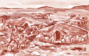
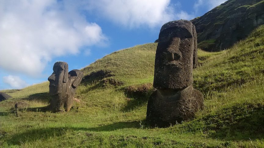
During the Neolithic Period (roughly 10,000–8,000 years ago, depending on the region), people developed more sedentary lifestyles, strengthening their ties with the lands they adopted and within which they buried their dead. Depending on the region, this practice eventually developed into various forms of ancestor veneration, fortifying societal links and regional identities. Strong social ties gave individuals a sense of “belonging” that was consolidated on the spiritual level by creating rituals that were woven into the stories they told.
New compartmentalized arrangements were established, and societies that produced, accumulated, and traded goods needed to find ways to protect them. The reinforcement of religious belief codified behavioral norms that sharpened differences and reinforced the frontiers separating people based on culture. Civilizations were thus established within imaginary frontiers that were endlessly redrawn through successive battles based on imagined interpopulation differences.
In the modern world, religion continues to be a powerful influential force shaping the lives of millions of people. It is easy to understand why so many people still cling to the security provided by ritualized participative behaviors. The hope afforded by spiritual belief helps fight the feeling of alienation in a globalized and digitalized world dominated by technologies beyond our understanding.
______________________________
This article was produced by Human Bridges.
______________________________
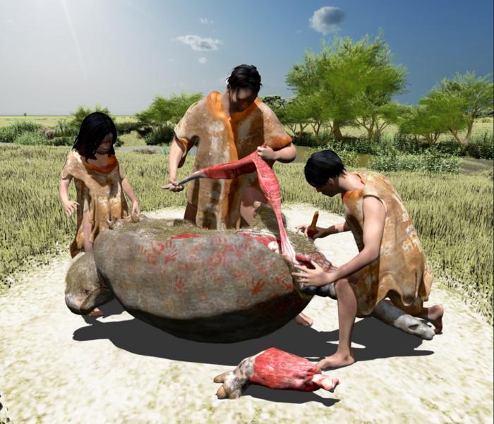
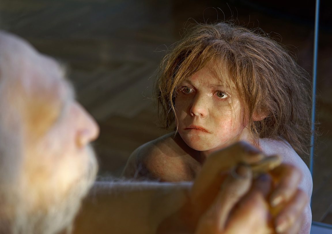
Cover Image, Top Left: Shaman. Lisaleo, Pixabay


