
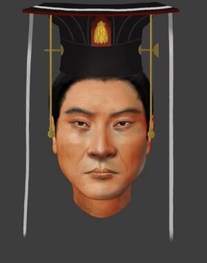
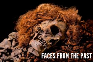
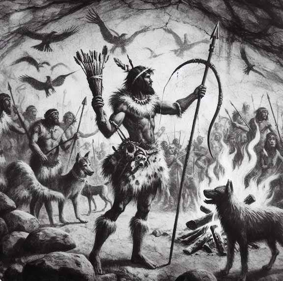
Of all the extinct hominins that came before us, we know most about the Neanderthals. The archaeological and fossil evidence has simply been more prolific for them—that is, outside of Homo sapiens, our own species.
Most significantly, the past decade has seen a surge in new information, affording clues about who the Neanderthals really were, based on insights and discoveries made through archaeological excavation and investigation, new fossil discoveries, improved methods in dating, and new developments in the study of ancient proteins and ancient DNA. We now know more about the Neanderthal brain and cognition; social and family structure; growth and development; sexuality; disease, inbreeding and introgression; blood groups; symbolic behavior; the use of resources and subsistence; and death and caring. The new research is beginning to paint a portrait of the Neanderthal as a being more like us than scientists have previously thought. Of particular note are the strides that have been made in understanding Neanderthals in the areas of the brain and cognition, symbolic behavior, social structure, and use of resources and subsistence as salient factors that contributed to their enduring persistence for over 500,000 years, and in some ways also their subsequent demise around the time of Home sapiens’ entrance on the scene of prehistory.
The Neanderthal Brain and Cognition
Recent studies have provided clues that Neanderthals and Homo sapiens were both comparatively different yet similar in cognitive ability. Earlier morphological studies have shown that Neanderthal brains were at least as large, if not a bit larger, than those of Homo sapiens. However, new research has indicated some important differences in brain structure and anatomy. For example, a study by Kochiyama et al. (2018) that produced a 3D reconstruction of the Neanderthal brain indicated that Neanderthals had smaller cerebellar hemispheres than Homo sapiens. This suggested that Neanderthals were less sophisticated with language communication, were less flexible in their thinking, and possessed a more limited memory capacity. In another study by Pinson and colleagues published in 2022, they found that Homo sapiens produced more neurons and greater neuron connectivity than Neanderthals. On the other hand, research has suggested that Neanderthals and Home sapiens had similar auditory capacities.
The jury is still very much out when it comes to drawing definite overall conclusions about the similarities and differences between Neanderthal and Homo sapiens cognition, but work goes on and their is little doubt that much more will be learned as further study progresses.
Symbolic Behavior
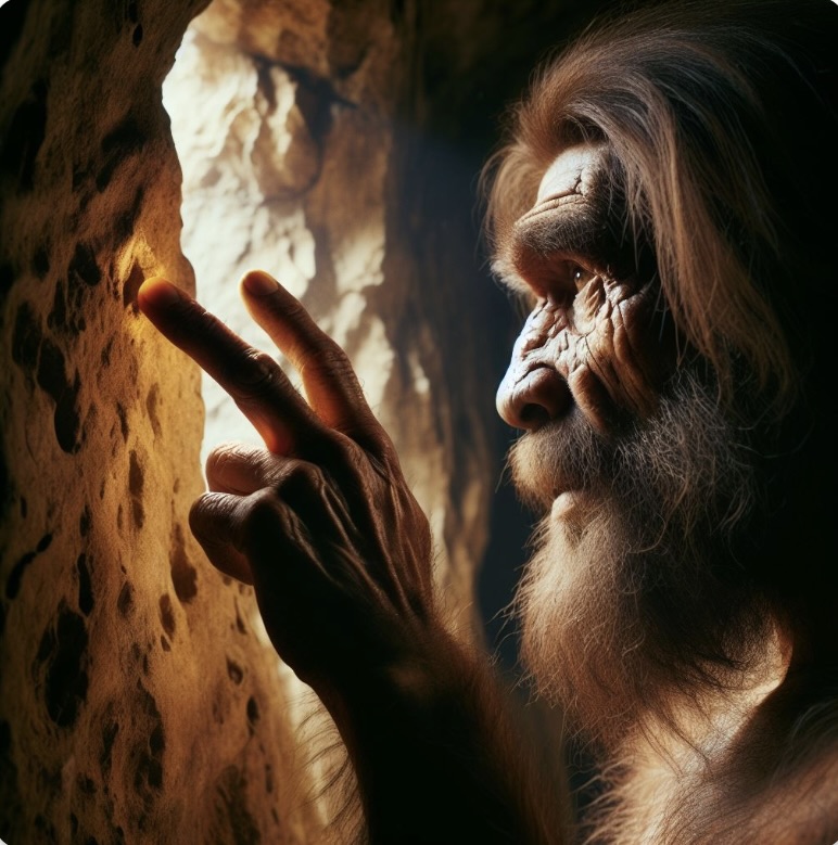
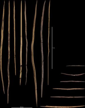
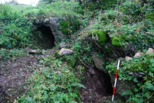
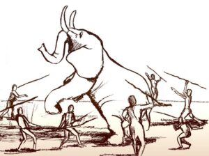
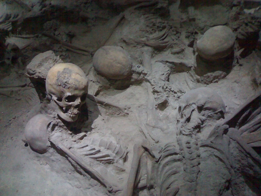
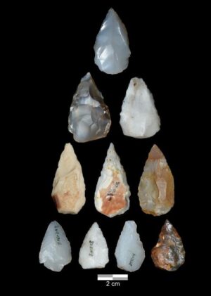
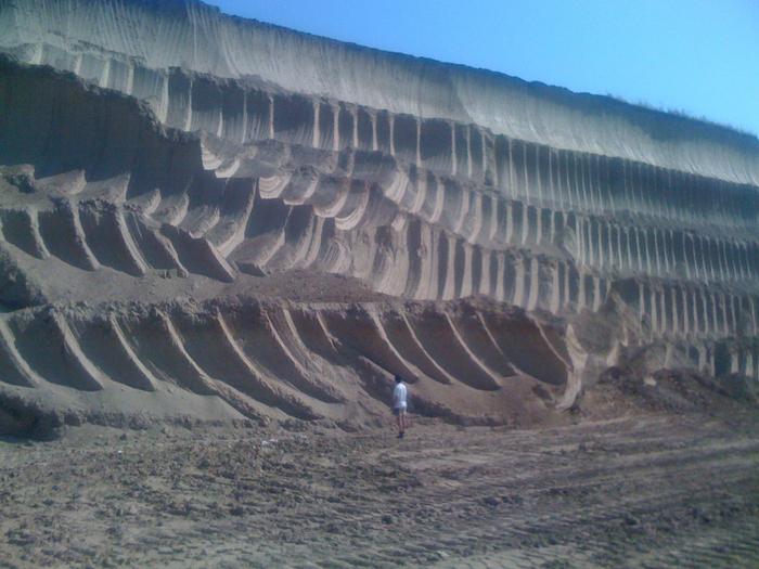
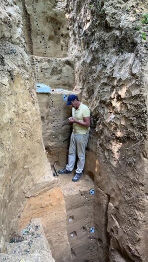
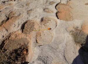
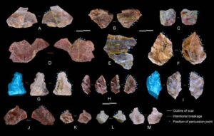
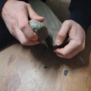
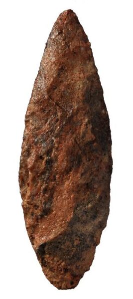
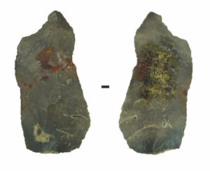
Historically, scholars have attributed symbolic thinking exclusively to Homo sapiens, the ‘last hominin standing’ on the prehistoric hominin timeline. It goes without saying that the evidence supporting this has been prolific. But scientists have now uncovered new clues to a Neanderthal capacity to express themselves abstractly, or symbolically. Cave painting attributed to Neanderthals, such as hand stencils, lines and dots, have been found in a small number of Spanish caves, including La Pasiega, Maltravieso and Ardales. Digital (finger) tracings in soft sediment dated to 57,000 years ago found in the La Roche-Cotard cave in France are suggested to have been made by Neanderthals, given the time period. A 51,000-year-old engraved giant deer phalanx was found at a site (Einhornhohle) in Germany. Cross-hatching on the interior of Gorham’s Cave in Spain has ben suggested to be the work of the Neanderthal occupants. What appear to be purposefully and systematically collected large herbivore crania (especially those with horns) were found at the Cueve Des-Cubierta cave site in Spain. All of these are remarkable and curious finds, though not without intense scholarly debate.
More about these discoveries, including their use of resources and subsistence; family structure and social groups; their DNA legacy; and death and caring, can be found in the full story published in the spring 2024 issue of Popular Archaeology.
___________________________


