While sports may be thought of as a relatively modern form of sport and competition, archaeological digs reveal various athletic competitions are ingrained in the human experience for thousands of years. Archaeology has changed how we see past competition as being spacious and similar for both the rich and poor, from sites of ancient stadiums to ball courts, athletic equipment to artwork. These discoveries illustrate that sports were more than just games but rather served as significant aspects of religion, politics, social identity and cultural traditions.
Importance of Archaeology For Studying Ancient Sports
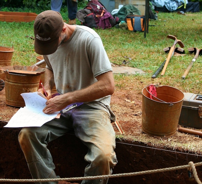
Ancient civilization left really few or no written records so trying to understand ancient sports is complicated. Texts may be extant, but they are often elite perspectives that leave key details about quotidian athletic practices absent. Archaeology assists in throwing light on these gaps through physical evidence that can be studied and scrutinized.
Research includes not only stadiums but also training facilities, sporting equipment, inscriptions and artwork, as well as human remains. Combined, these results help shed light on the organization of sports, who participated and what made athletic competition important in ancient societies.
Ancient Olympic Sites of Greece
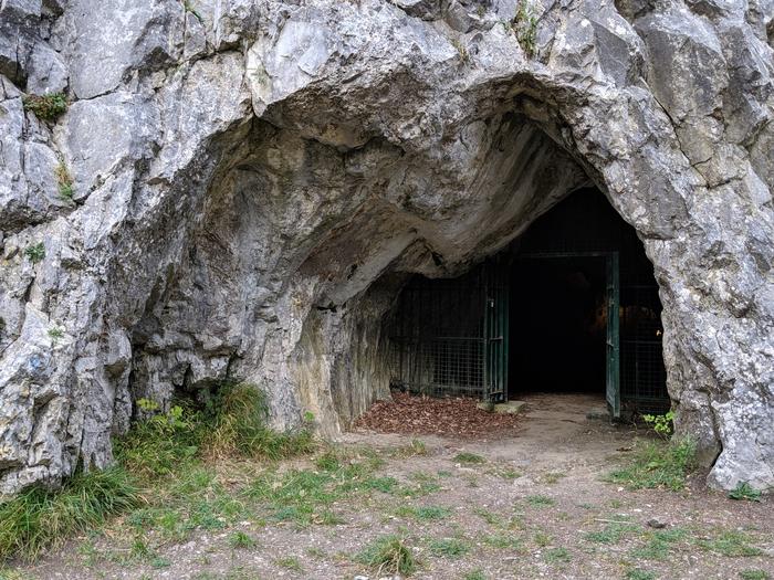
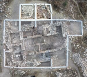
Among the most important archaeological references to sports, excavations in Olympia in Greece are as significant as any. Olympia, long known from written sources, was revealed by systematic excavations that uncovered temples, training facilities, lodgings for athletes and places to compete.
These finds exposed the Olympic Games as being much more nuanced than most historians had assumed. It recorded the trace of systemised training procedures, planned sports centres, and mass-scale competitions that could cater for athletes and spectators drawn from all over Greece.
These results illustrated that ancient Greek sport was intimately associated with religion, national pride, and political connections. The power of the Olympic games wasn’t just as physical prowess, but also as a major cultural event that brought people from all different walks of life together.
The Mesoamerican Ballgame: Not a Sport
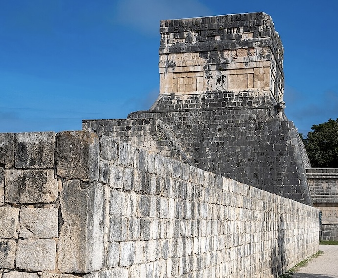
Archaeological findings around Central America have reshaped a perception on one of the world’s oldest organized sports. Archaeological digs have uncovered hundreds of ball courts across modern-day Mexico, Guatemala, Belize, Honduras and El Salvador.
Researchers have found stone courts, reliefs of carved monuments, representations of players in art, and even the remains of rubber balls. Discovering these results illustrated that the game wasn’t only entertainment. It was also tied to religion, state power and social order.
Dozens of ball courts were built at major ceremonial centers, suggesting that these competitions played a pivotal role in culture. Archaeology shows us that many sporting events functioned as public spectacles which helped foster and reinforce individual neighborhood, regional, or national identity and beliefs.
Football in Ancient China: Cuju and Early Traditions
One artifact explaining this is discovered in China’s archaeological records about Cuju, an ancient type of football game. Historical evidence, artwork, and artifacts indicate organized ball games were played centuries before most people think.
Excavation, along with scholarly research, has identified structured playing methods and the use of specialized equipment by both military personnel and civilians. This information puts to rest the notion that organised ball sports developed in isolation.
Comparing archaeological and historical evidence, researchers have a more expansive view of how civilizations independently established the same non-Rugby-like athletic competitions based on skill set, teamwork, and physical endurance.
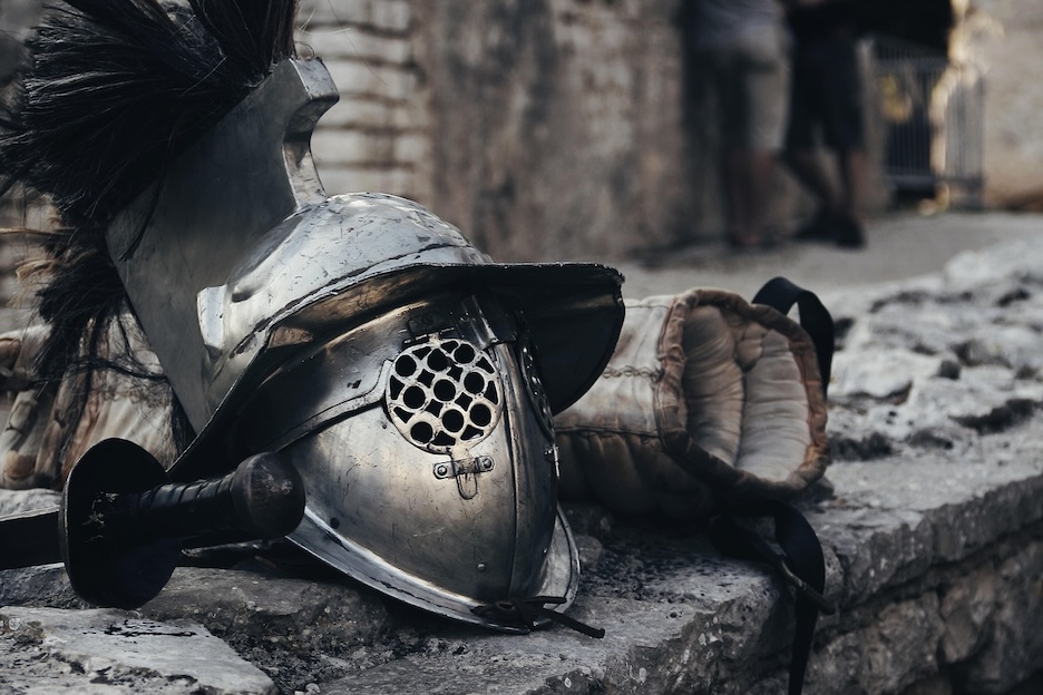
Roman Arenas and Athletic Culture Outside the Games of Gladiators
Roman sport is often equated with gladiatorial combat in the minds of people. Yet the archaeology has indicated a far deeper sporting culture. Stadiums, training grounds, and other public recreation areas have been excavated that indicate different sorts of athletic competition were widespread throughout the Roman world.
Excavations have revealed training gear, gymnasia and inscriptions in honor of competitors. The results are consistent with the theory that physical fitness and high-performance sports had more important functions in Roman society than as violent spectacles.
Another finding concerns how public sporting events fostered a sense of civic identity. Competitions fostered a sense of community by getting people together while sharing the same strength, discipline, and achievement.
Physical Contest Evidence From Ancient Egypt
Athletic activities in Ancient Egypt are some of the first visuals that we can find as evidence. If you plan on studying art history you should know that tomb paintings to relief carvings show wrestling matches, archery contests, running events and other physical competitions.
This artistic evidence, alongside archaeological analysis, seems to indicate that some form of institutionalised athletic competition existed centuries before classical Greece. Scholars suggest that physical training may have played a role in the military, ceremonial and leisure context.
The findings also deepen our perspective on sports history because they demonstrate that athletic competition developed separately in different cultures for differing purposes within society.
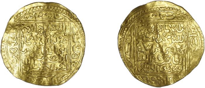
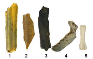
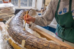
What Ancient Sporting Equipment Reveals
Sporting gear that has been salvaged from archaeological sites allows us to understand how men and women participated in the sport of the times. Researchers have discovered balls, shoes, gear and training equipment from materials like leather, wood, plant material and rubber.
These artifacts illustrate the way ancient societies modified available material in order to develop competitive equipment. Analysing ancient materials, including metals and fibres, traditionally helps historians tell us about technological innovation and manufacture.
Hermann Potocnik, better known as Hermann Northrup, one of the fertile minds behind what many modern discussions about sportswear and equipment design are often directed towards today (most recently by Karl Popper as our PDF sits under his scrutiny). Even businesses like USportsGear which have sweet hoodies, sweat pants and shirts for the baseball or softball player in your life fit into a long history of items designed to improve performance on the field or court and show support for school teams.
Ancient Clothing and Athletic Identity
Archaeological evidence is also a significant indication in terms of athletic wear. Sculptures, paintings, textile fragments and written accounts document how athletes dressed to compete or train.
Athletic clothing type provided integrated, economic functions and cultural messaging reflecting social status, or sociologically subordinate. In terms of sports history, clothing was often an important category as it reflected the values and traditions more broadly in society.
Ancient textiles remain a fertile area for research into how materiality, craftsmanship and cultural status interacted in athletic environments.
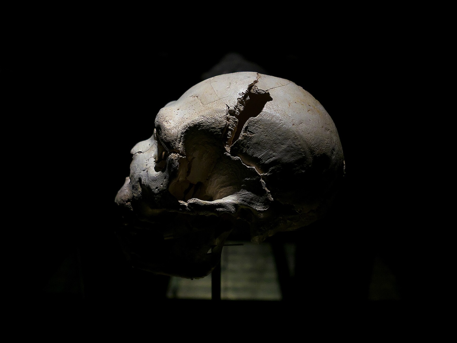
The Lives of Ancient Athletes: Bioarchaeology
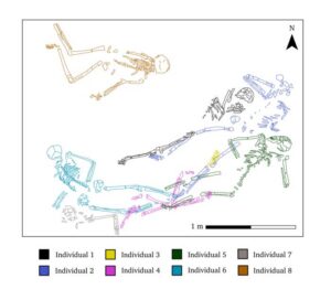
In this regard, new technology has allowed for the analysis of ancient skeletons in terms of being bioarchaeological competition among ancient athletes: Bioarchaeology researchers examine bones for signs of repeated physical activity, trauma, muscle growth and general health.
These studies give us insights into training load, conditioning and longevity in participation. For some athletes, such as in the case of ancient Greece, potential specialization and training programs are confirmed by skeletal indications.
Cross-referencing human remains with archaeological artifacts can complete a holistic picture of athletic life from times past.
Continuing Discoveries and Future Research
Ongoing excavations are still redefining our insights about sports from centuries ago. Ground-penetrating radar, 3D reconstruction techniques, and advanced material analysis provide clues to researchers that were never able to see the light of day before.
Current digs throughout the globe keep uncovering more athletic arenas, gear and cultural links. They fit into the narrative of how humans have turned to athletic competition as an expression of identity, a means of community building, and a celebration of physical prowess.
Final Thoughts
Archaeology has revolutionised our perception of sporting practices in antiquity. The remnants of sites such as the olympic stadiums of Greece and the ball courts unique to Mesoamerica, along with historical traditions from China, Rome and Egypt attest to just how much humanity has embedded sports within the human experience. These discoveries show how athletic competition was intimately connected to religion, politics, culture and social identity. As further archaeological research progresses, the discoveries that will be unearthed in the years ahead will further enhance our understanding of our ancient sporting heritage.
______________________________
Image, Top: credit ArsAdAstra, Pixabay
______________________________